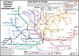
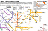
Lovers of Victorian regional rail, unite and take over! This map depicts a version of the Victorian rail network that includes a lot of the railways that were a part of the states network in the 1920's-1950's, that are no longer running. The look of the map mixes a tmodern aesthetic with a historical component to make for a great talking point for a living room, particularly when framed.
Printed using the latest eco-solvent ink technology on satin finish polypropylene to minimise all ink bleed and make features pop. Size: A2 (420mm x 594mm)


